This post recounts the eleventh day of my English Channel to the Mediterranean cycle tour in France with Peak Tours in June 2025. Read Day 10: Grospierres to Vaison la Romaine.
The mood at breakfast was quiet. This was our day of destiny, our appointment with an ascent that truly deserves that overworked adjective: iconic. Ventoux was calling us. This subdued mood was very similar to that at breakfast before climbing Bealach na Bà on the Highland 500 in 2022.
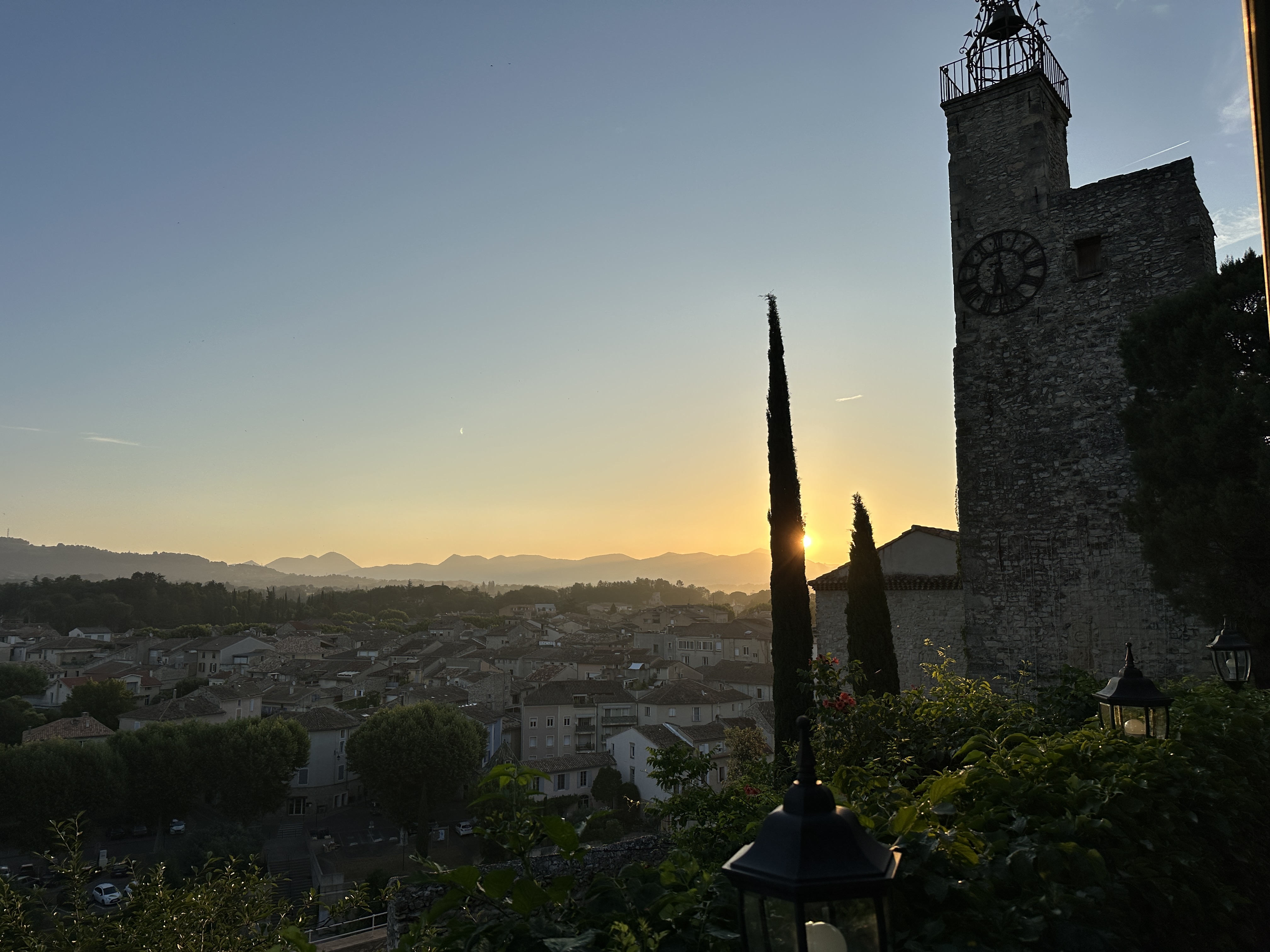
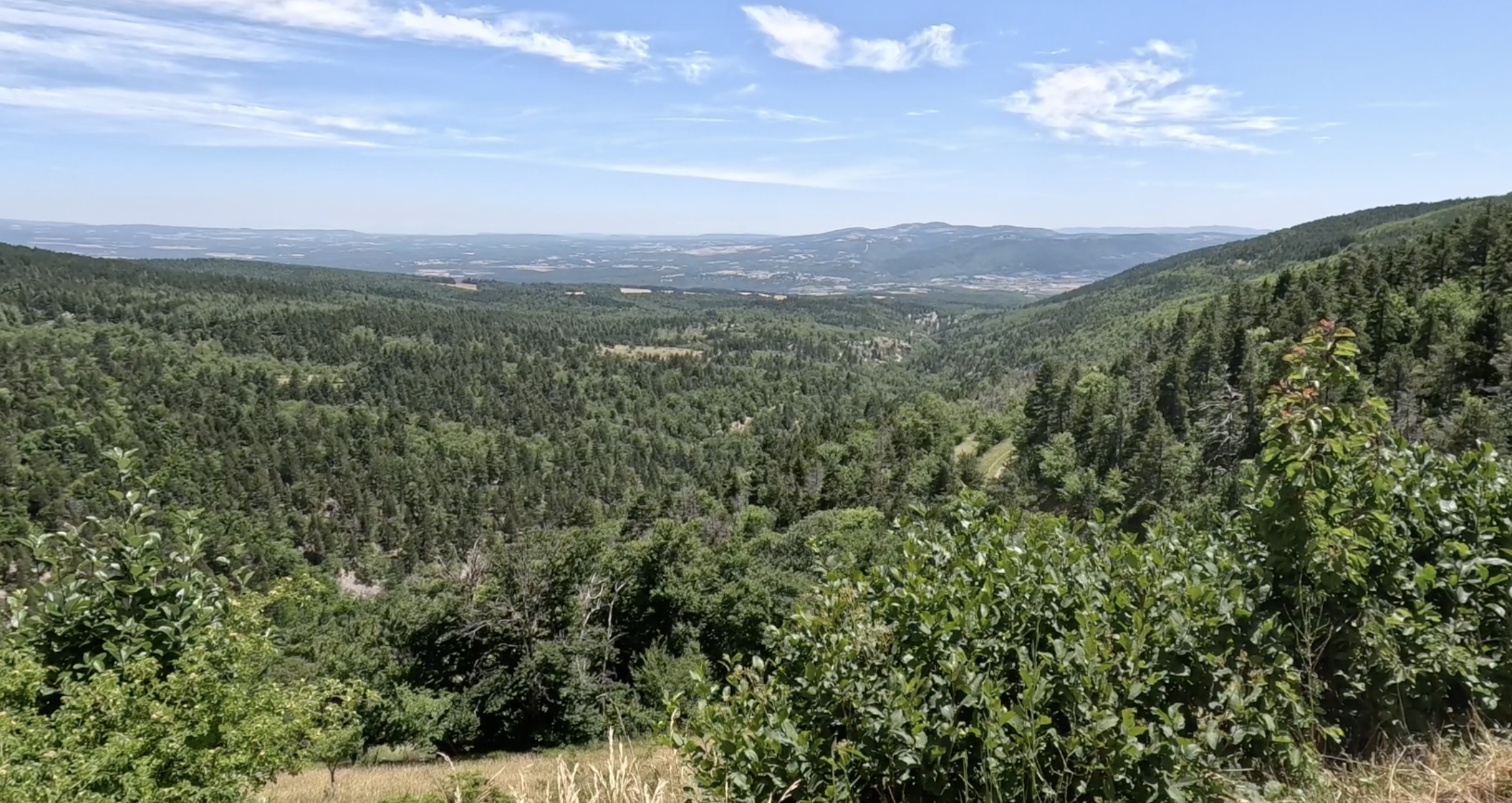
As we ate on the terrace of our lovely hotel, Hostellerie le Beffroi, the sun was rising over the peaks of Provence. We set off over an hour earlier than usual so we’d have cooler temperatures on the 21 kilometre, 1,700 metre climb. (Ventoux is 1,910 metres over sea level, but we weren’t at sea level when we started, hence the ‘missing’ metres.)

We were tackling the ascent from Malaucene, which was about nine miles from our start. Soon after leaving Vaison a large group of us missed the planned Peak Tours route to Malaucene. This was a classic case of group think: Pat was leading the way, and we followed him and ignored the Garmin beeps to turn left. To be fair, my Garmin had given me so many false turn alerts that I was almost conditioned to ignore them. As a result, we had a fast ride to Malaucene along a busy road. Some of the faster riders reached the town after us, having taken the ‘proper’ route. ‘What kept you?’ we joked.
We had a brief stop in the town to top up water and snacks. I could have bought a Ventoux jersey or teeshirt here, but I didn’t want to grab a memento of a famous ride before I’d even started it!


At last we began our climb of the Giant of Provence. We saw a panting dog out for a walk, which made me wonder how thirty I’d get on my way to the summit. The sign proclaiming: Col du Mont Ventoux OUVERT (open) confirmed there was no getting out of it now.
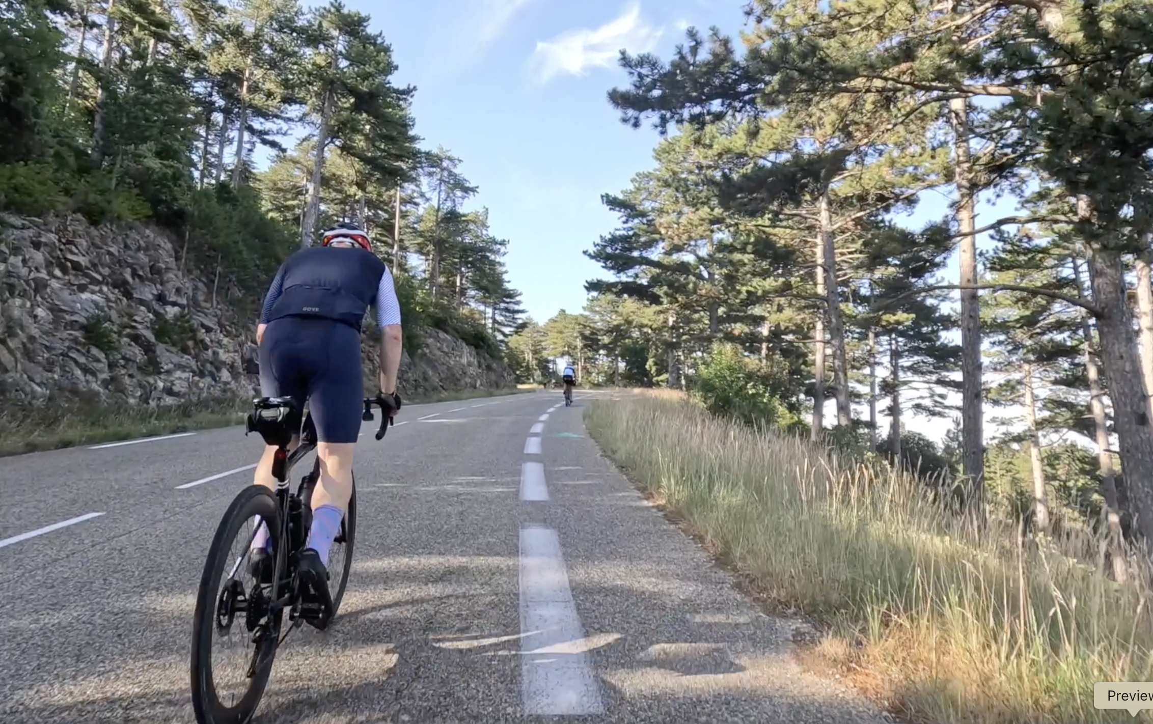
I enjoyed the first few kilometres. The gradient was easier than I expected, and the temperature made climbing easier than later in the morning. Willie overtook me, and I knew I’d not see him again this side of the summit. At one point a helicopter flew low and loud over us, and I joked to myself that my rescue party had arrived. In these early stages I was cycling in sight of Wendy and Maureen, and enjoyed the progress we were making.
Peak Tours provided a water and snack spot around seven kilometres into the climb. After this break I restarting with renewed energy, which made me feel very positive. In truth, this was one of the easier sections, and I didn’t get the same boost from the final water stop further up the mountain.
It was no surprise that I found it tough. The section around 10km onwards climbs at a gradient over 10 percent. I can cope with that kind of ascent over short distances but this went on for over four kilometres. There’s one point where you can see the ramp stretching ahead of you for over a kilometre, which is a tad disconcerting if you’re not a natural climber. Shortly after this, as I rode on with Jim, we saw a green (easier) section appearing just ahead on the ride profile on our Garmins. We clung to this hope like thirsty men in a desert hearing rumours of an oasis with water.
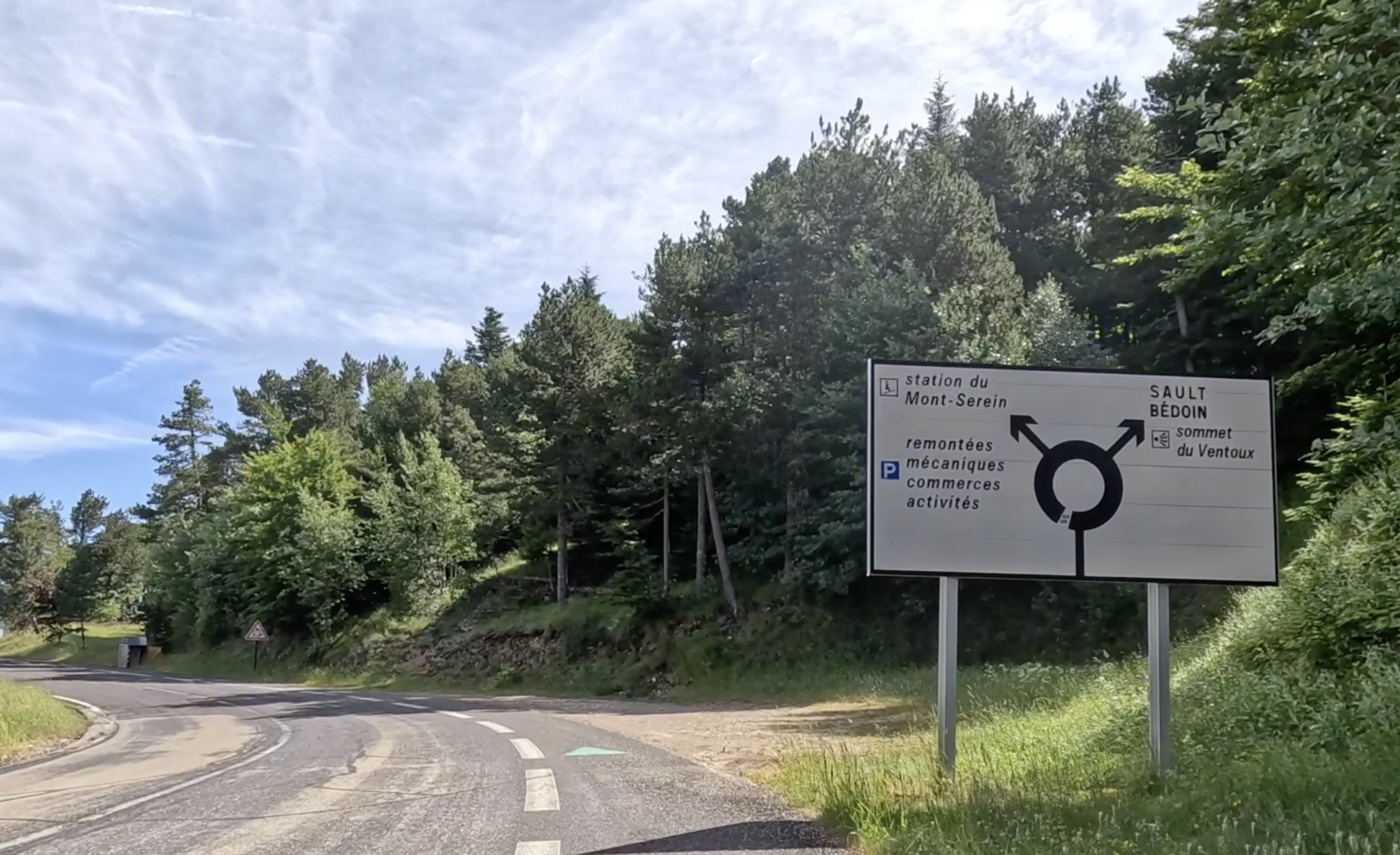
As we reached this respite section, we came across a roundabout – not what you expect to see at 4,700 feet up a mountain! This easier section went on to the Chalet Liotard hotel and restaurant, after which the road heading sharply skywards again.
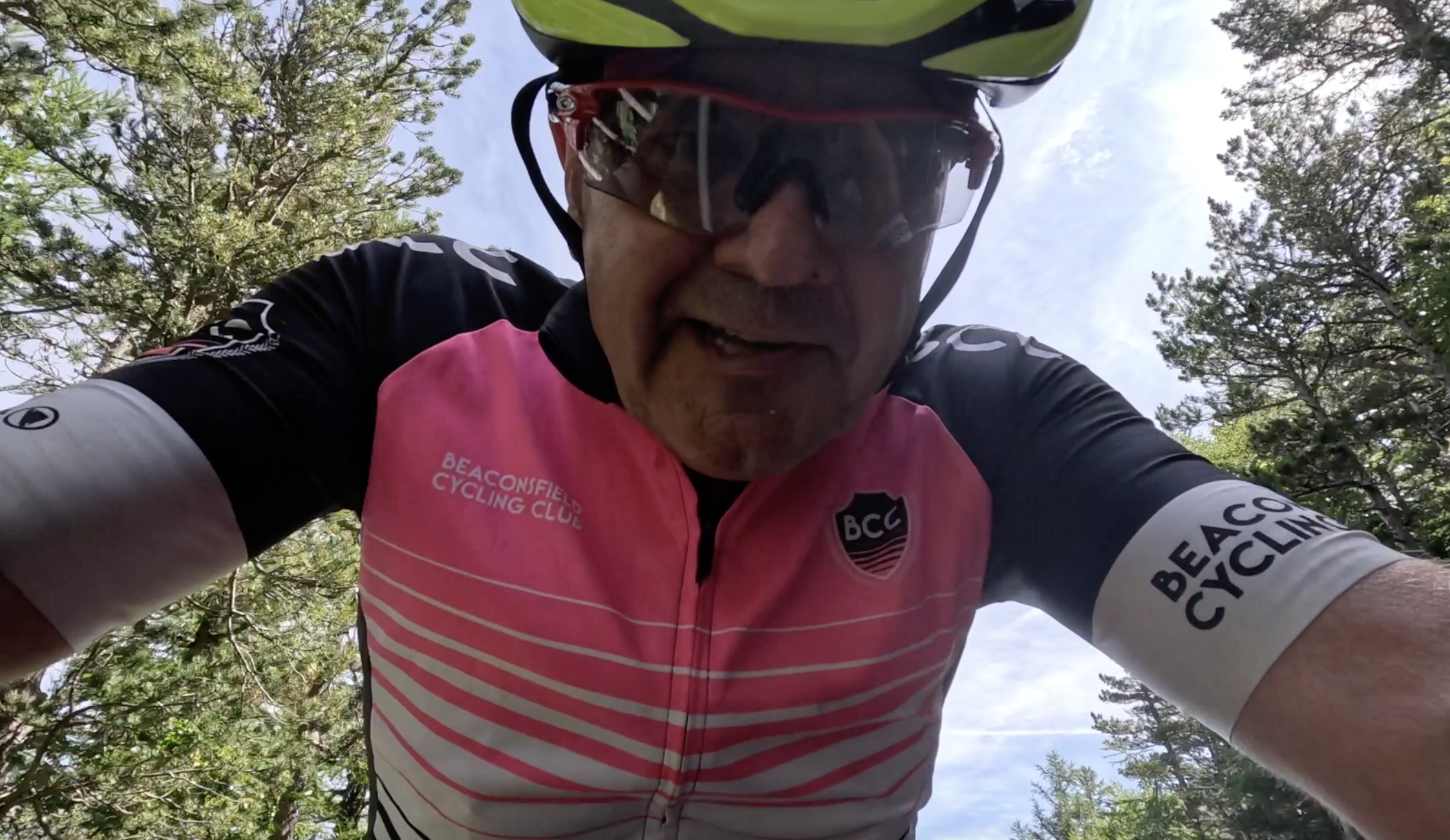
This was where I did a short piece to my GoPro camera, asking whose idea this was and marvelling how anyone could race up such a mountain. I was in good humour, as you can see if you watch the clip on the day’s highlights video at the end of this blogpost.
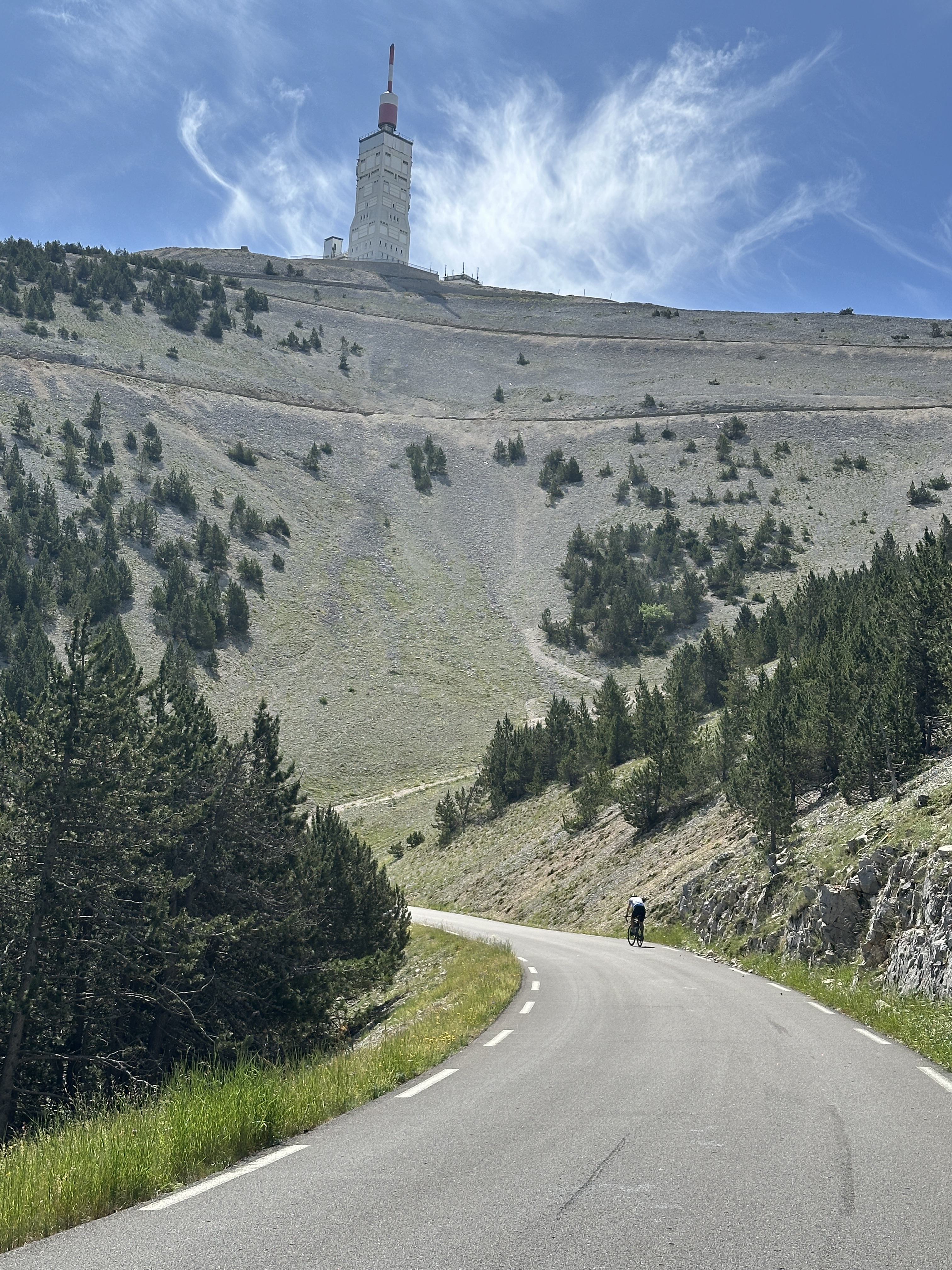
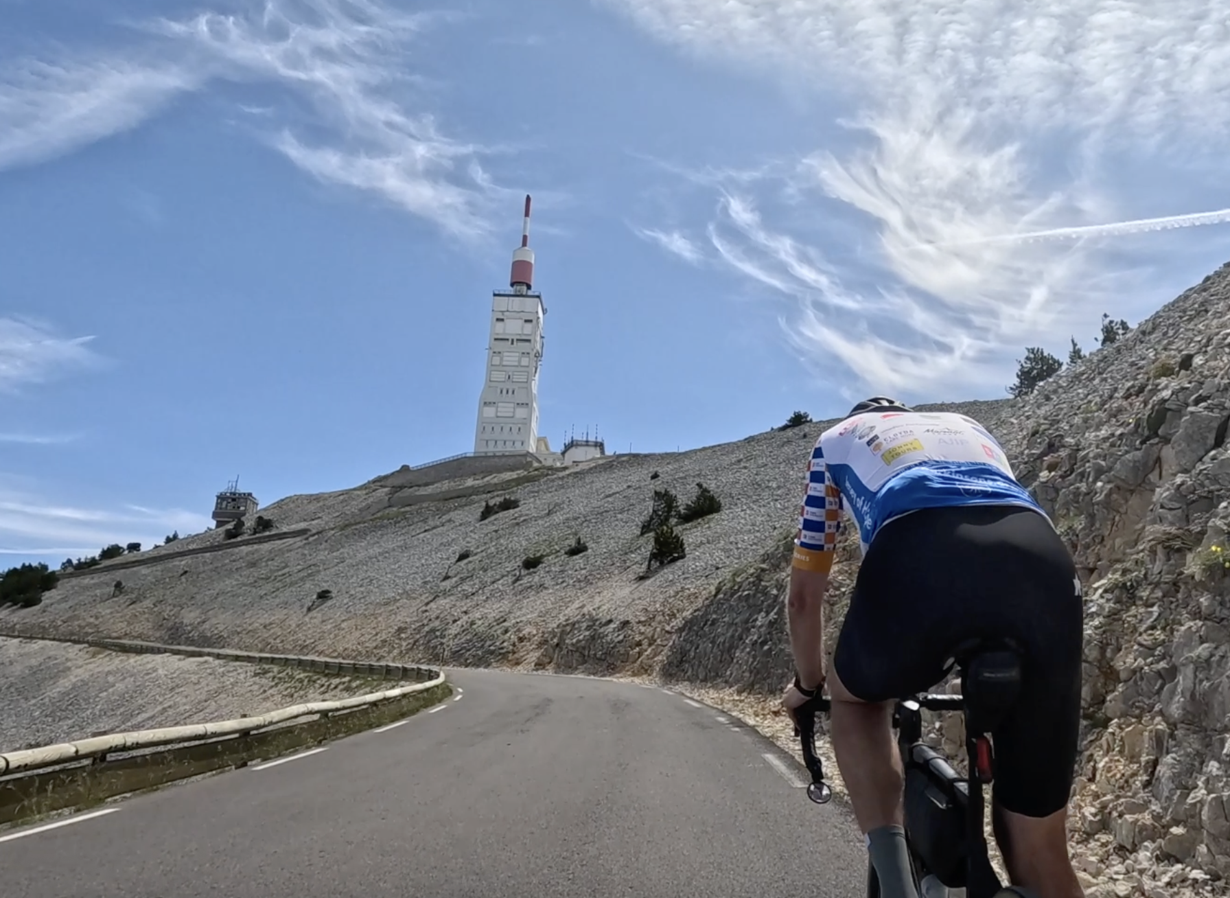
This was the moment that made it worthwhile: our first sighting of the famous tower at the summit. We still had a long way to go, but it was now within our grasp. You can see the hairpins on the sheer cliff face above Jim as the road snakes its way to the summit.


We paused on the lower of those hairpins to take in the views across Provence towards the Alps. Ventoux is unusual as it stands alone rather than as one of a range of mountains as in the Alps, Massif Central or Pyrenees.
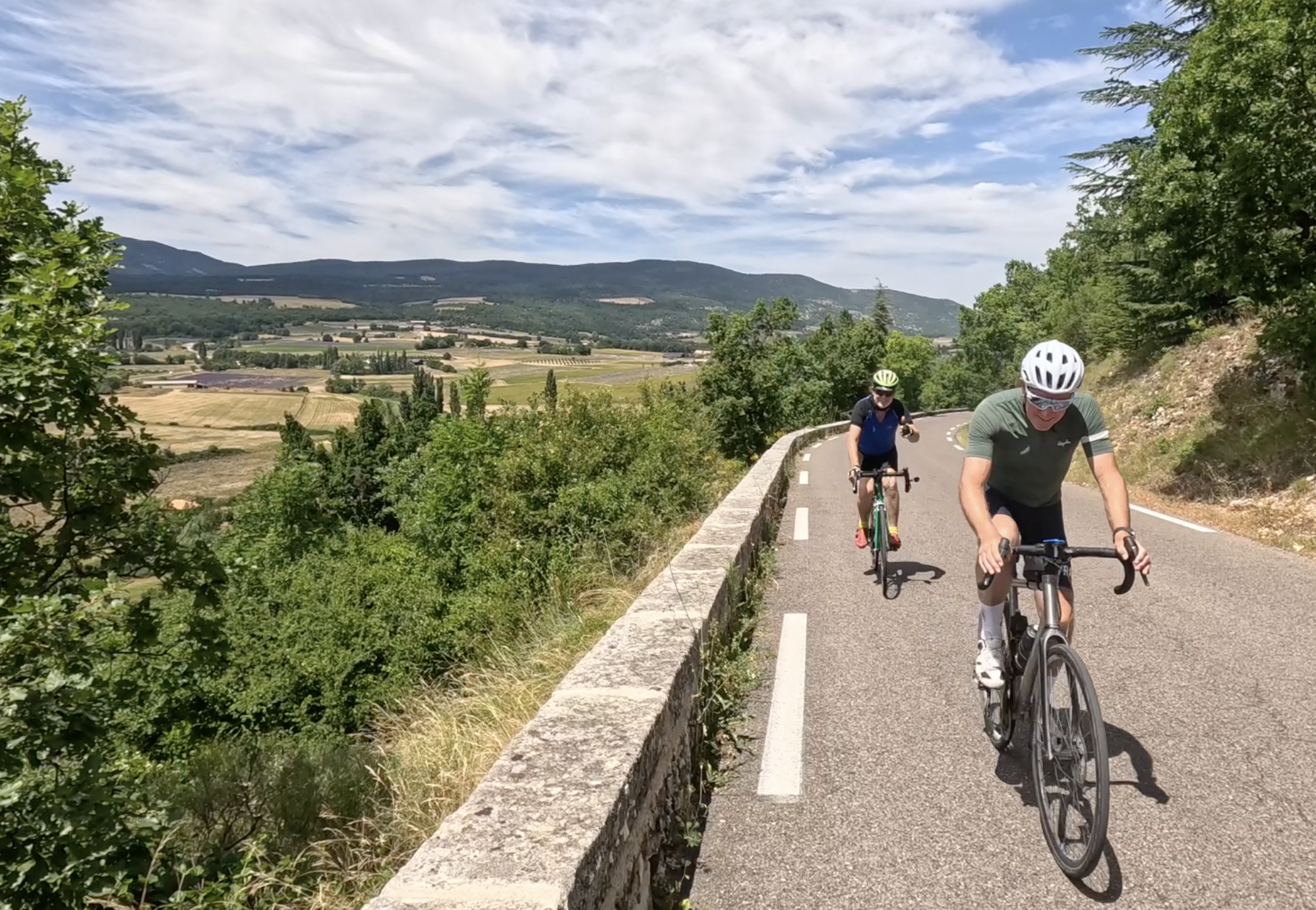
I was so glad to be cycling with Jim on the hardest parts of the ride. I indulged my usual technique for tacking long, steep climbs: ride short sections and pause, repeatedly. No coach would ever recommend this approach, but it’s got me up countless ascents including Teide in Teneriffe. Jim, by contrast, set his cadence and kept going. On the Highland 500 tour in 2022 fellow rider Angela contrasted our techniques as those of the hare and the tortoise. This hare made it up Ventoux! As did all the tortoises, as well as the faster animals…
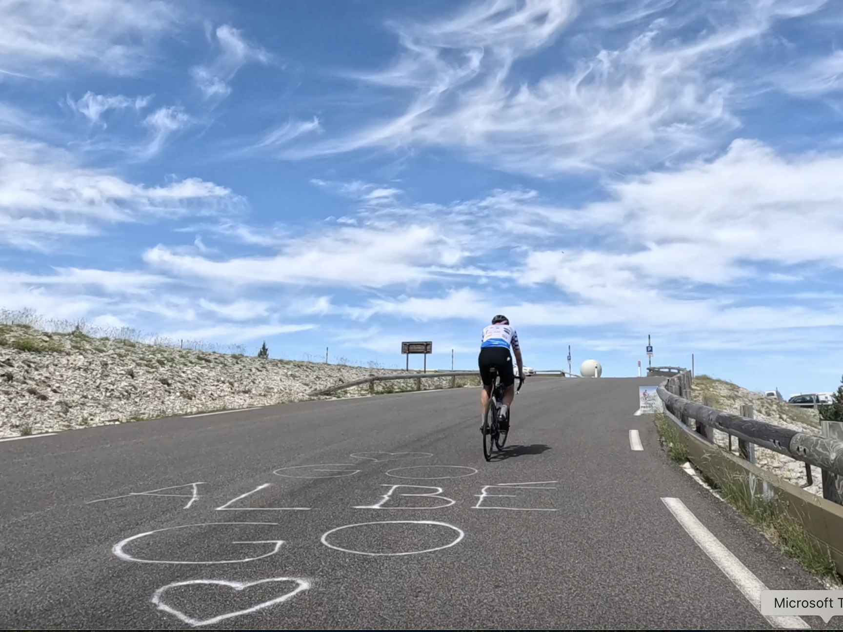
We reached the end of the first hairpin, marked by a radar station that looks like a golf ball. On the road we passed writing urging ‘Go Albe Go.’ I suspect Albe was quicker than me.


I don’t normally buy photos from roadside photographers, but made an exception for the image above of me nearing the summit of Mont Ventoux.

We were so close now. We passed the Peak Tours van, parked so near the summit, and heard Huw, who’d completed the climb, congratulating us.

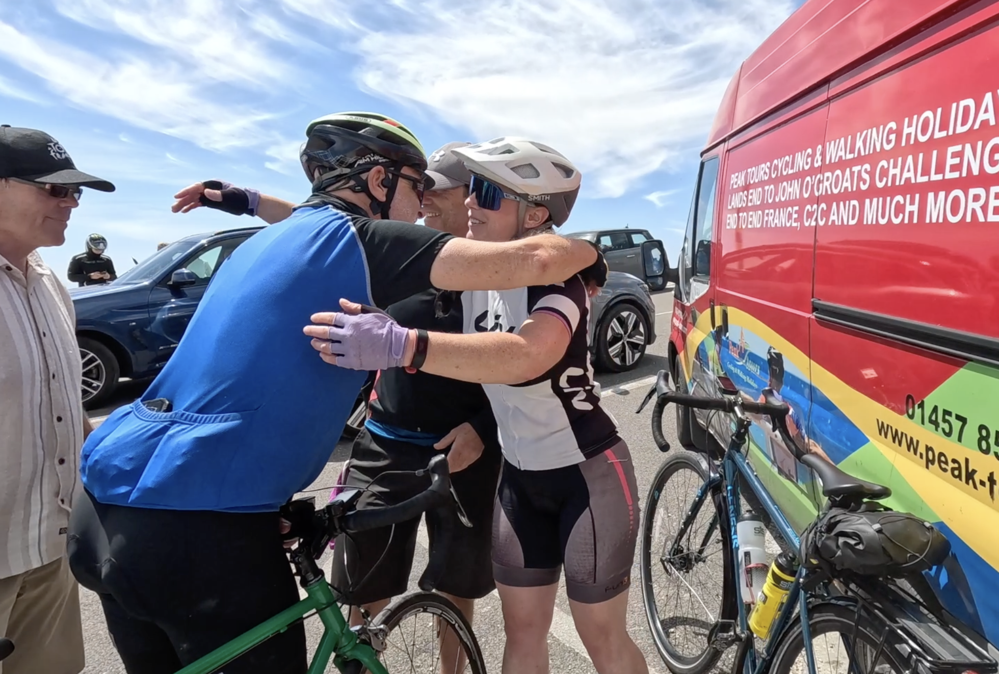
The summit of Ventoux isn’t somewhere to linger: it was a shock to be amongst crowds of people after the solitary ascent. Wendy was waiting for Jim there and we took the obligatory photos to show we’d made it.
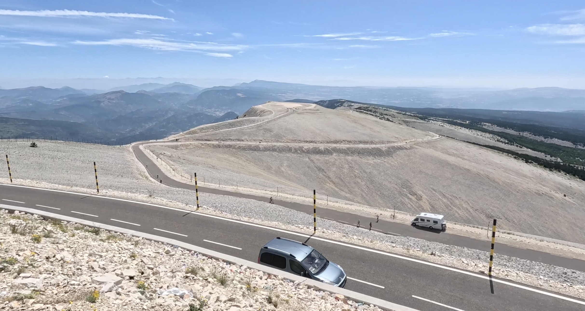

Ventoux’s famous moonlike landscape became very apparent as we began the descent. We soon came to the memorial that commemorates the death of British cyclist Tom Simpson during the 1967 Tour de France. His death was attributed to heat exhaustion combined with the amphetamines and alcohol he had taken. I didn’t realise how close he’d come to the summit.
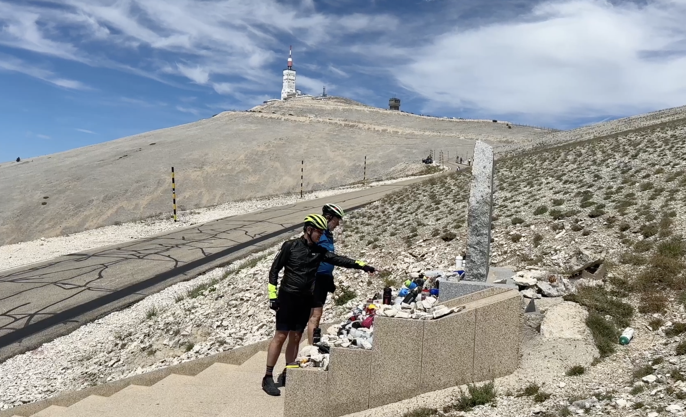
Karen, John and I paid our respects at the memorial, which is laden with offerings to the lost hero, including dozens of water bottles. This is ironic as in the Sixties riders were told not to drink much water and there were strict rules about topping up their bidons. William Fotheringham’s biography of Simpson, Put Me Back on My Bike, includes a detailed account of that tragic day in 1967, and is well worth reading.
We stopped for lunch at Chalet Reynard, a little further down from the Simpson memorial. It was a relaxed interlude, with all the tension at breakfast released by our individual achievements in reaching the top of the ‘big hill’ as Alison called it earlier in the tour. Chalet Reynard is a rather odd establishment, with separate counters for food and drink. I treated myself to a coffee after eating.

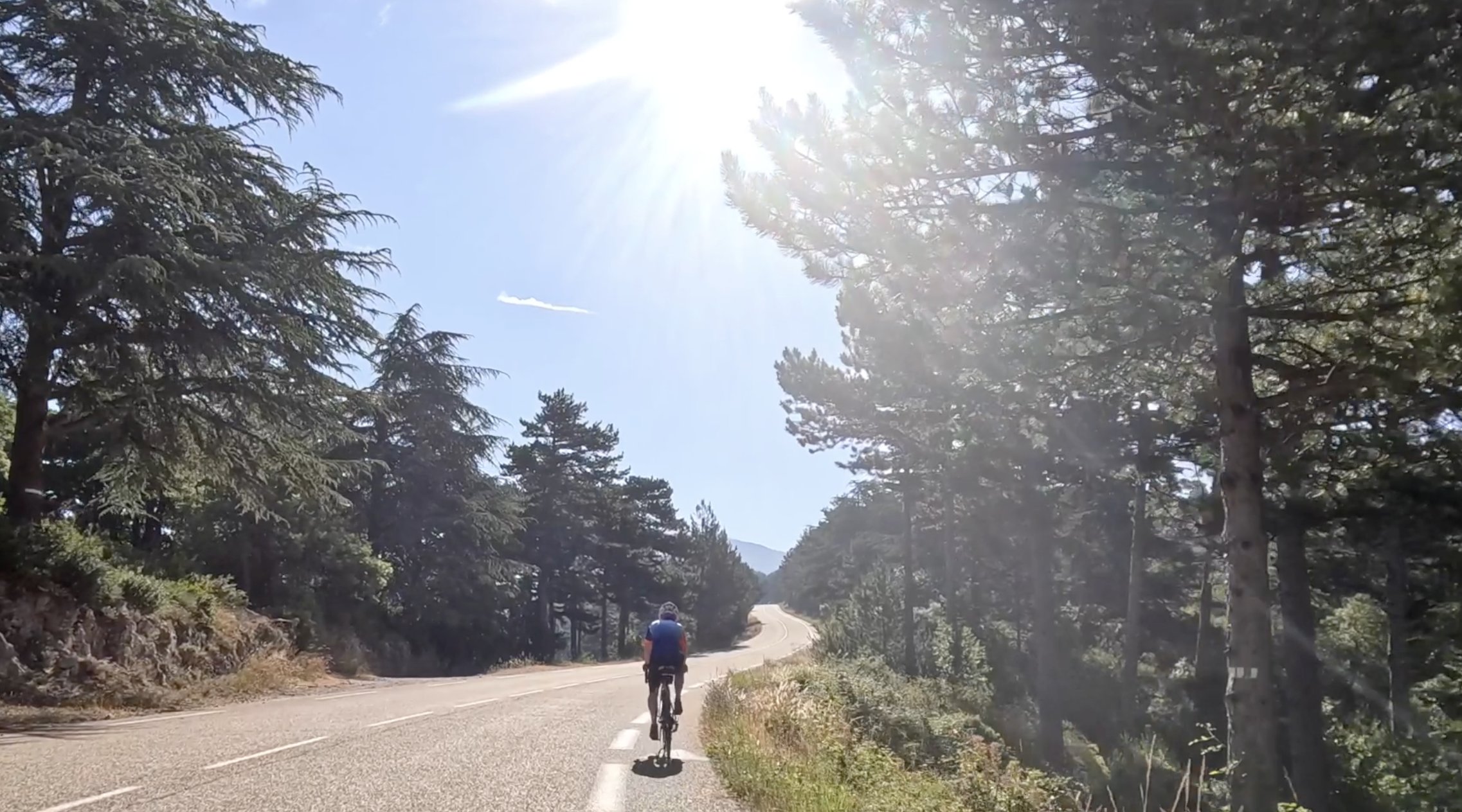
The descent was a pure delight, twisting and turning towards Sault. This is actually the easiest of the three ascents of Ventoux, and in the other direction it made for a controlled descent.
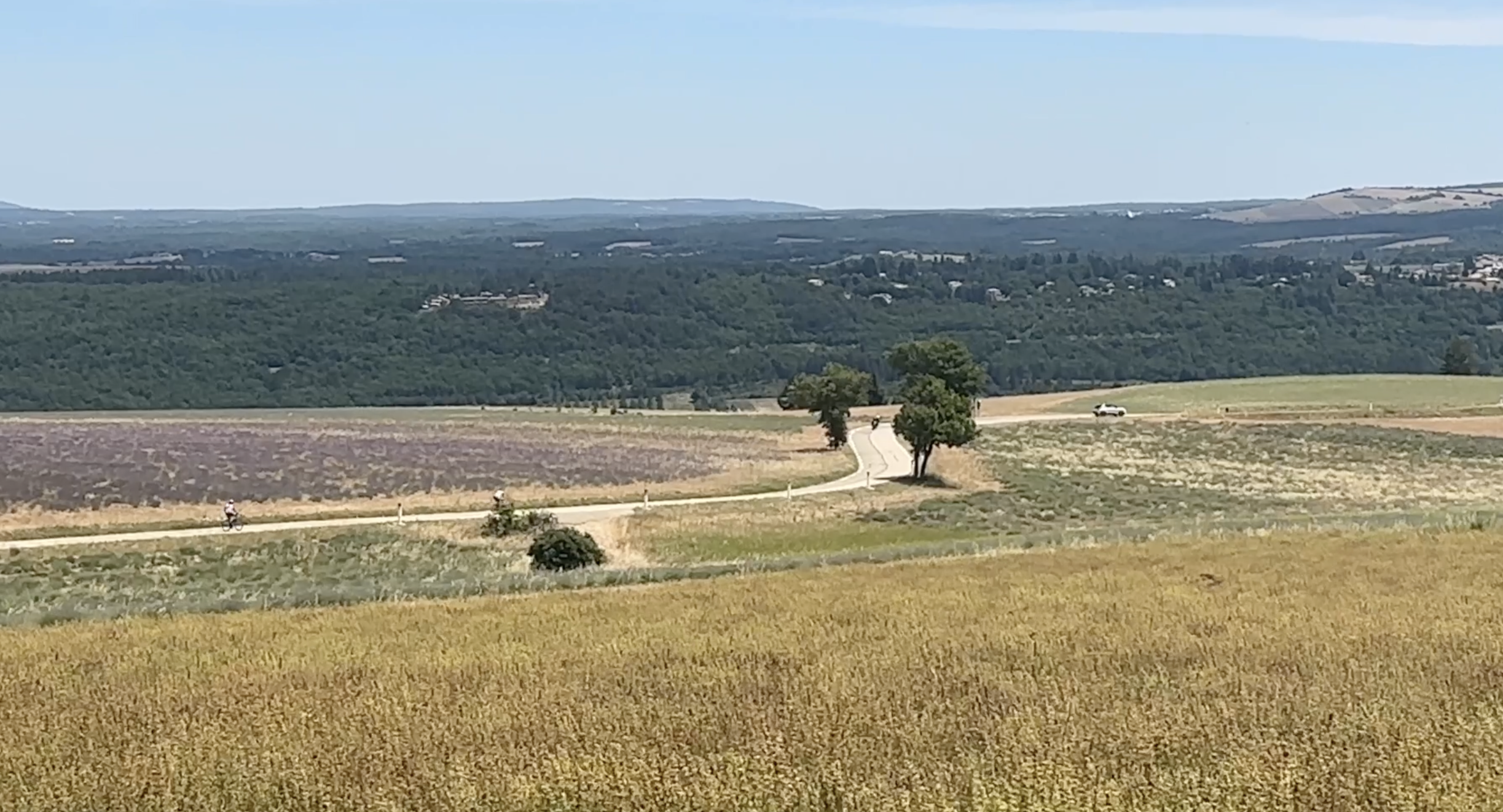
Once we reached the lower slopes, we had our first glimpse of the famed lavender fields of Provence.

We had one final climb – a steep but short rise to the town of Sault, where we saw a stream of people coming down the hill on Segways.
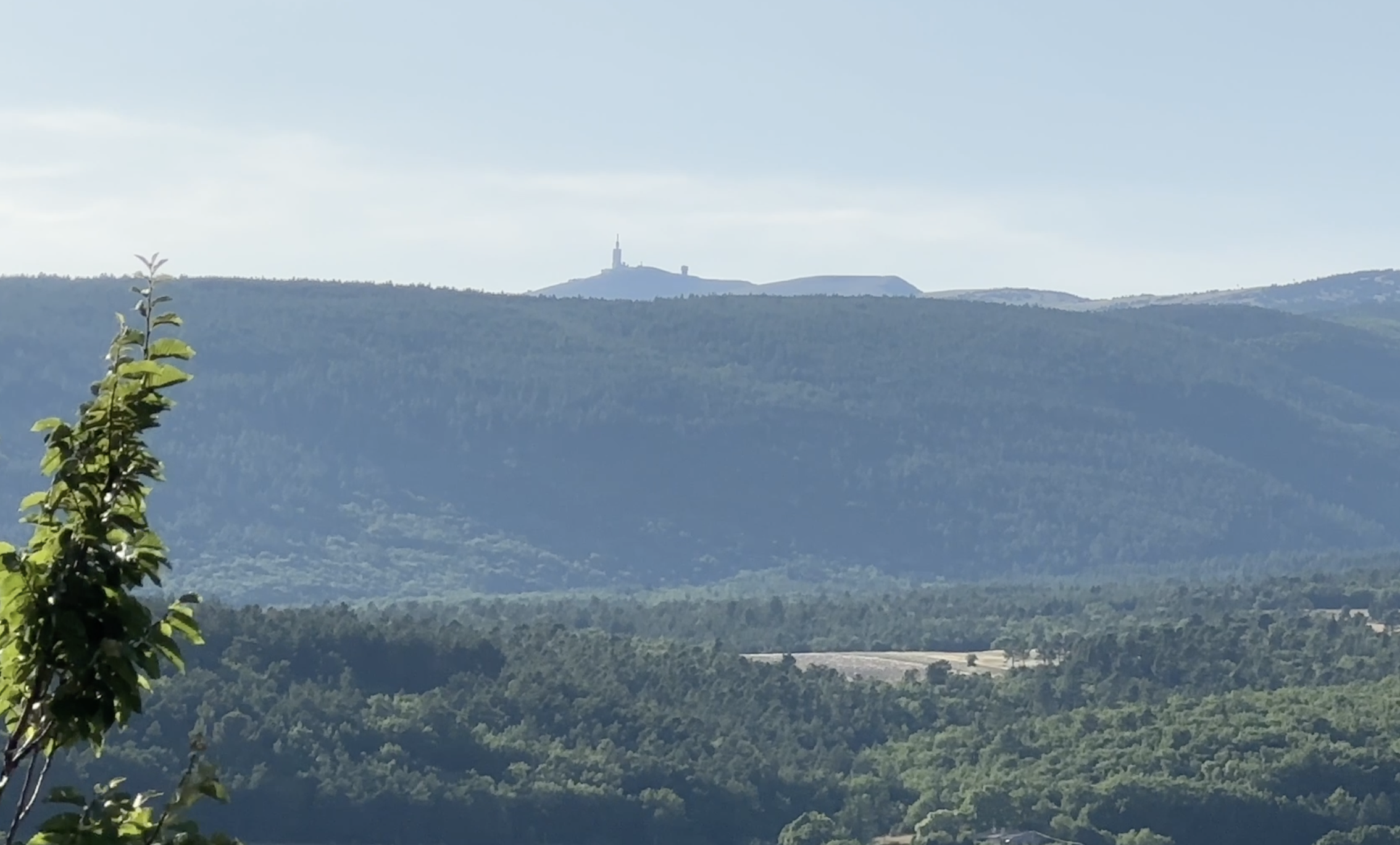
We had an enjoyable, celebratory group dinner sitting outside on the square in front of the church in Sault. Earlier, I had looked out towards the summit of Mont Ventoux, seen above, and reflected with pride on what we achieved today. When the Tour de France returns to Ventoux later this month, it will have a personal significance for me for the first time.
Read Day 12: Sault to Les Salles-sur-Verdon.
The day’s stats
35.48 miles, 5,755 feet climbing, 3 hours 40 mins cycling, average speed 9.6 mph.
The day’s highlights video

Pingback: Cycling Channel to the Med, Day 10: Grospierres to Vaison la Romaine | Ertblog
Pingback: Cycling Channel to the Med, Day 12: Sault to Les Salles-sur-Verdon | Ertblog
Pingback: London Edinburgh London 2025: surviving Storm Floris | Ertblog